Formulation of the problem
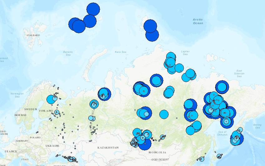
As part of the Photo-Geographical Atlas of Russia project (photogeomap.ru), we have collected a number of photographs of various landscapes of the country. Many of them are made in rather hard-to-reach places. It is this inaccessibility at a qualitative level that we want to evaluate for each point (photos) /
Inaccessibility index
A characteristic that allows you to indirectly, at a qualitative level, assess the difficulty of getting to the point of shooting of a given frame. Since there were no ready-made solutions for calculating such a characteristic. It was decided to create their own. Let's call it the “inaccessibility” index (ID).
What does it depend on? Obviously, from:
distance from roads accessible for transport
distance from hiking trails and paths suitable only for walking
distance from waterways
Data source for analysis
The only available vector data source for such proximity analysis is OSM.
Controversial points and assumptions
I will immediately describe all the assumptions we made
OSM .
. .
– – . .
. , .
OSM
1. OSM , https://download.geofabrik.de Postgres (c ext. PostGIS).
planet_osm_line.
( highway)
2. . materialize view planet_osm_line.
- select * from planet_osm_line where highway is not null and highway != ’track’ ( OSM ) – …..
- select * from planet_osm_line where highway is not null and highway = ’track’ ( )
m.view - . .
3. . materialize view
-
 --------------------------------


      SELECT t.waterway , count (t.waterway) as cnt FROM public.osm_rivers_l as t where t.waterway is not null group by t.waterway order by cnt desc


    ---------------------------------
()
select * from planet_osm_line where waterway is not null
()
select * from planet_osm_polygon where water is not null
() , .
, QGIS . , PostGIS, . , 10 ( GIS)
- Road_dist - Track_dist ! . ( , ) River_dist
. OSM , ..
, .
.
1. ( Road_cat Track_cat) (Road_cst Track_cst)
Track_cst 5 – 0
1 |
0,5 |
1 |
1 5 |
2 |
2 |
5 10 |
3 |
4 |
10 25 |
|
6 |
25 |
1 |
10 |
2. (River_cat) (River_cst) 10 , 0
1 |
0,5 |
2 |
1 5 |
2 |
4 |
5 10 |
3 |
6 |
10 |
|
10 |
3. .
Sea_cst « » , ( – ). 0, .
« » |
|
5 |
|
10 |
|
4. 4 *_cst INDEX_IMP
- -- .
3 - (
– ….
– ….
30 – - …
- . ( ) .