As a disclaimer
I am not trying to draw here a "unified development program" for the space industry, I do not have such knowledge. I'll just go through the most interesting (from my point of view) technologies and venture "at the tip of the pen" to find possible points of intersection and development. Any discussions are welcome. Format - translation and compilation of sources, some author's comments, links to the sites of developers and implementers, and pictures to attract attention.
And further. The emphasis is on civilian space. The gluing of land, waterfowl and orbital tanks together with militarists of all stripes is going through a forest in another, not my thread. I am a pacifist. Thank you for understanding.
Communication
The most obvious use of space is communication. Satellites can act as direct repeaters of the signal between subscribers, and work as a chain of intermediate repeaters. To increase the data transfer rates between satellites, an optical channel can be used; the rarefied remnants of the atmosphere on LEO will not weaken the laser beam. The low operating altitude of the satellites solves two problems at once - it reduces the required transmitter power (the signal weakens in proportion to the square of the distance) and simplifies the disposal of a failed satellite in the upper atmosphere.
The best example of the technology is Starlink satellites, light spacecraft weighing ~ 227 kg, deployed on LEO.
E-thrusters installed on StarLink V1.0 and later provide both orientation and orbit maintenance. Plasma engines SPT-100HET of StarLink satellites have a high specific impulse (~ 1600 s) and operate on safe, environmentally friendly fuels - xenon and krypton.
The surplus energy and computing resources of space communication satellites can be used for observations of the earth's surface, astronomical observations, geophysical research (measurements of the magnetic field and gravitational anomalies). They will also be able to provide us with the Internet of Sattelites. This one is like IoT. Only in space.
Cartography, remote sensing, geodesy
, . "" - Dove SuperDove PlanetLabs

, |
420-675 |
, |
7,3 - 16,1 |
, |
2,7 - 4 |
, |
4,98 |
|
1 |
Dove PlanetLabs 140 , .
Dove
, , . - TEMPEST, Blue Canyon Technologies.
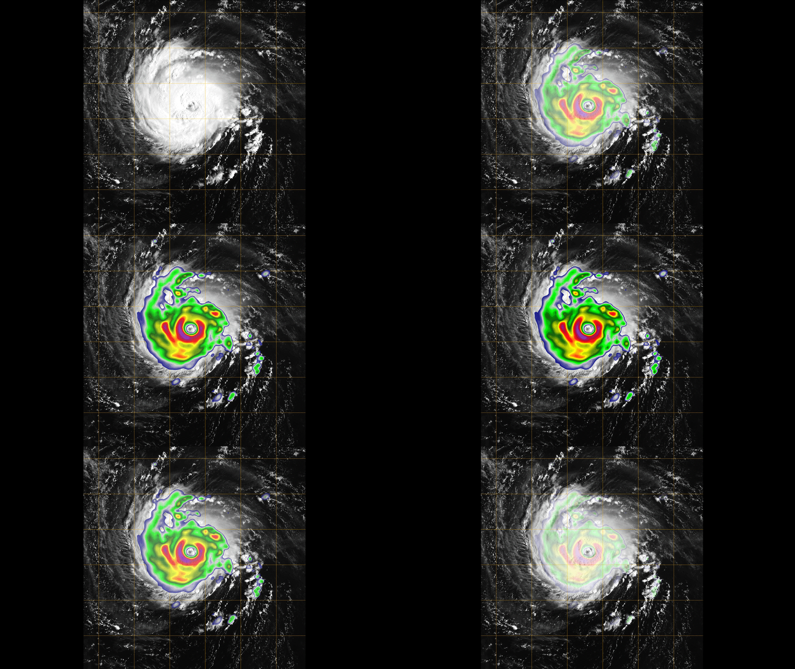
"TEMPEST" |
|
, |
450 |
, |
300 |
, |
12 - 28 |
, |
165-182 |
|
3 , - 3U |
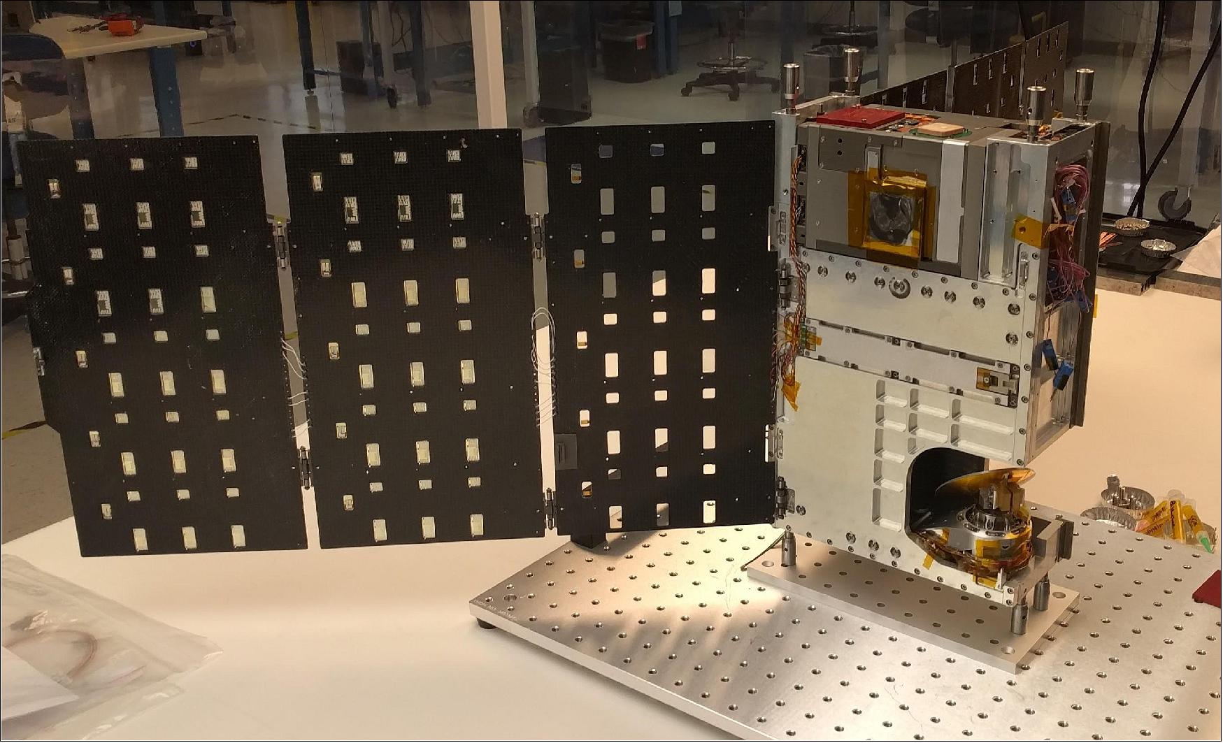
, - .
, . Meisei Electric Co.LTD (8 * 8 * 6 ) AIS 3U
- . OCEANBIRD, , ( - 200, - 32000 )

. , - - / (, - ), TEMPEST, , StarLink ASI- .
. 3U - Chameleon Imager . .
- , . , . , .
.
- .
, - . -
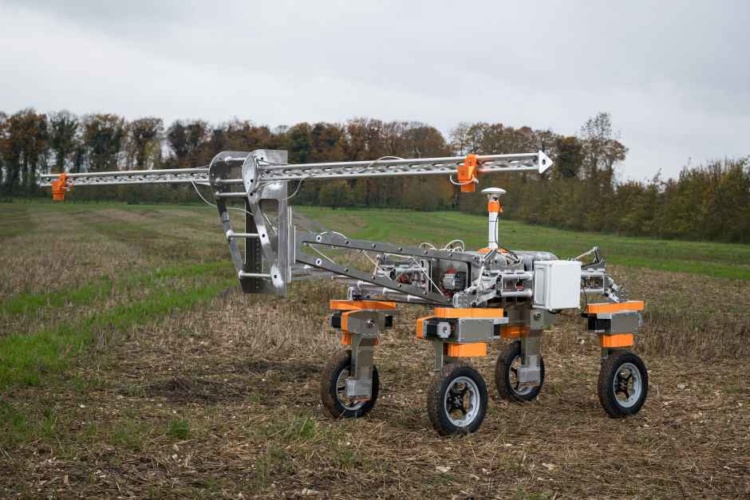
. . :
-
, ( 1000 ) (~ 2500 - 5000) . , , ( )
- , ( ). - ( ""), ( ). , . - , "" .
. , - , . StarLink .
. , - , / / , "" . ,
- , , . "" , , . "Chinese Society of Aeronautics and Astronautics" ~ 100 .
- ( , ). , , (~750 - 1000 ), , . .
X-37 OTV, USSF-7 17 2020 .
- , . - , .
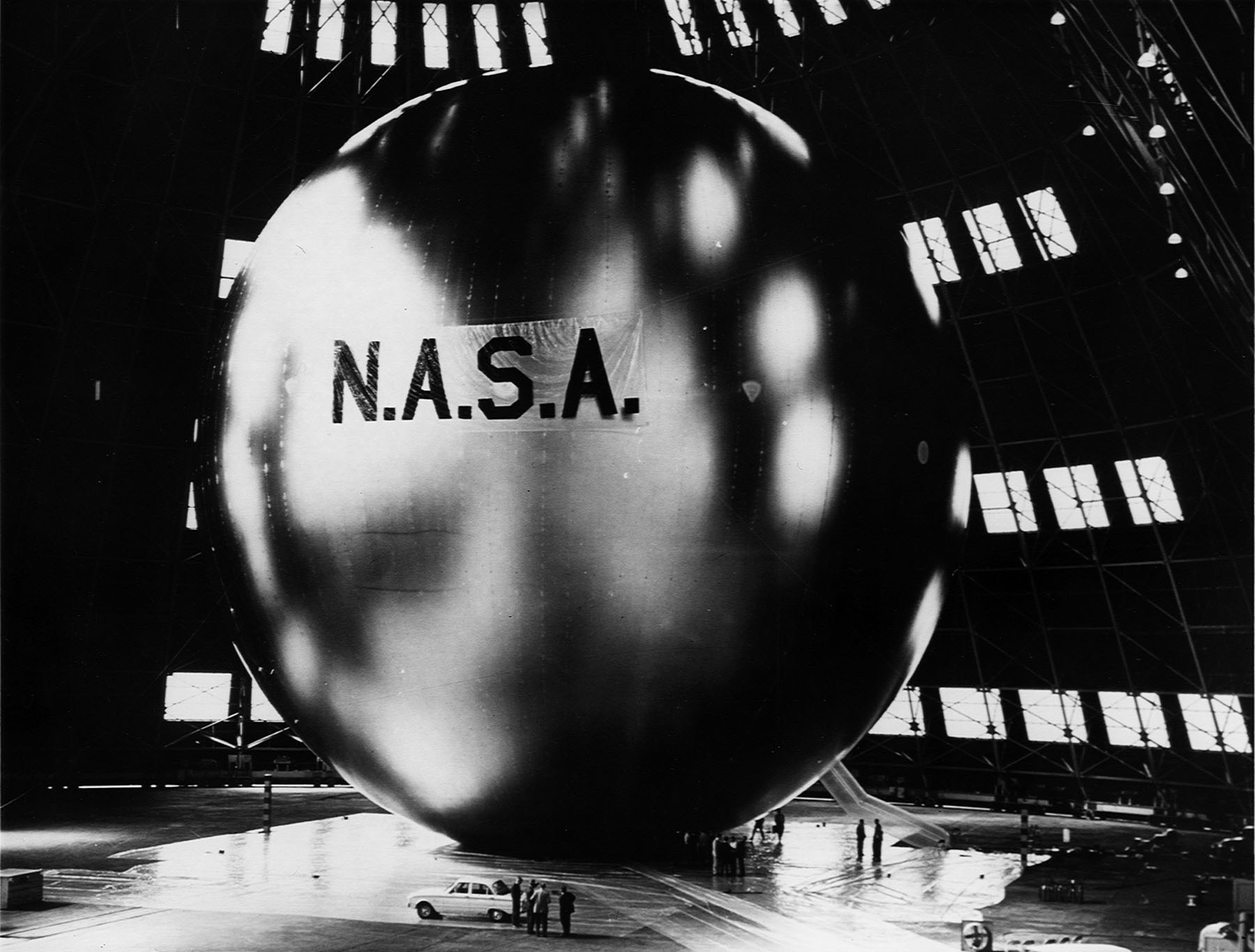
Echo (0,09 /2) 1,66 , , 20 "" 133000 2. 180 .
-, .
P.S.
, .